West Highlands, Stob Ghabhar and Stob a'Choire Odhair

West Highlands, Stob Ghabhar and Stob a'Choire Odhair
Scotland
🏕️ Wild Camp: ✅
🚲 Bike and Hike: ✅ easy track
💧 Water Source: start and finish
🏊♂️ Wild Swim: Loch Dochard River running beside the track
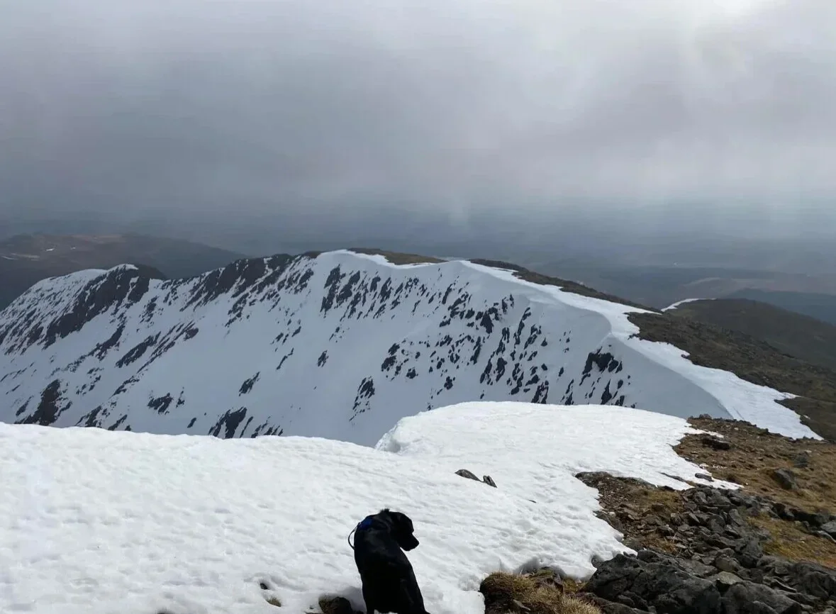
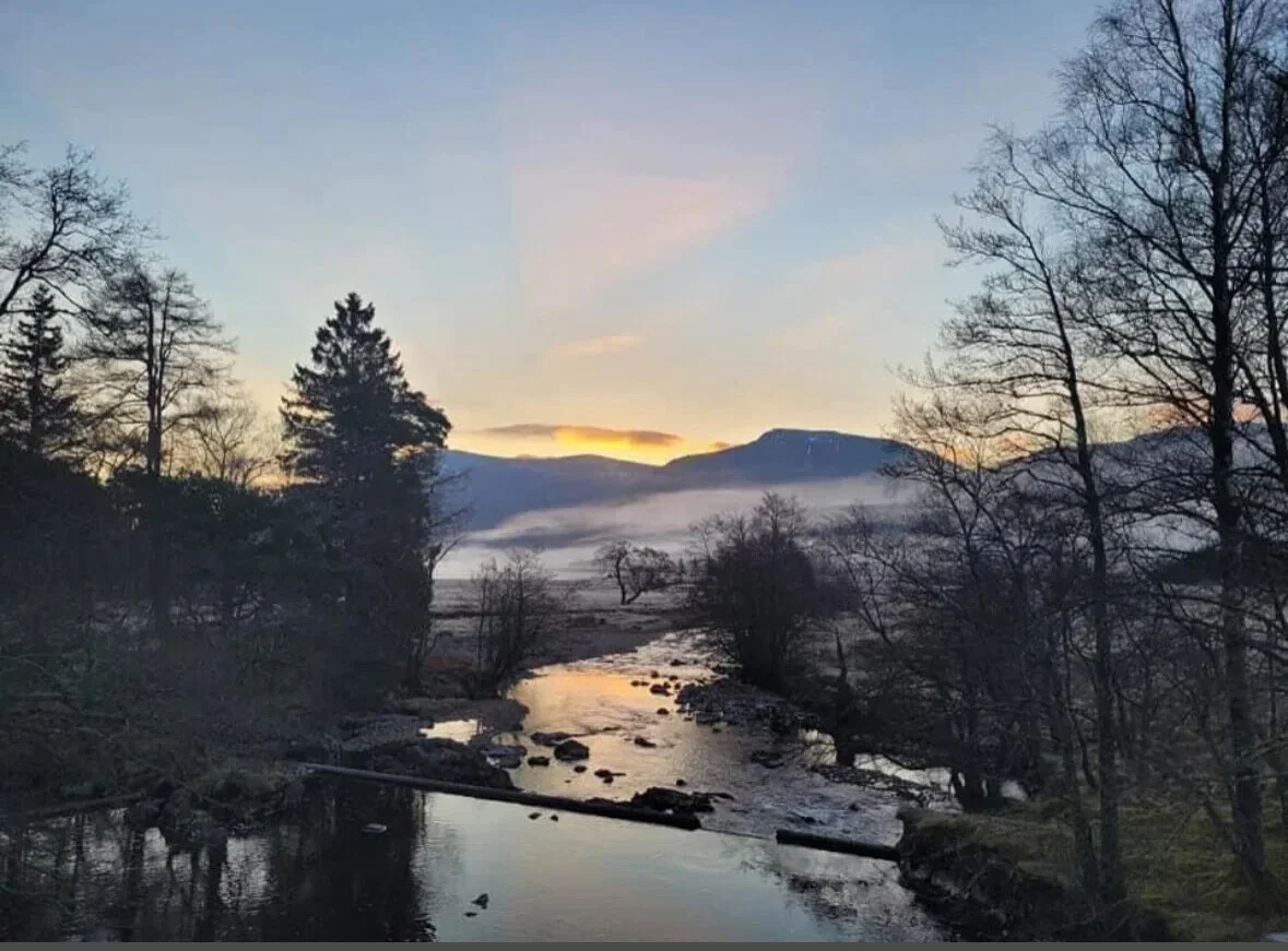
From Victoria Bridge follow the estate track south along the Abhainn Shira for several kilometres before leaving the track and crossing the river. Climb steep grassy slopes to reach the summit of Stob a’ Choire Odhair (945 m). Continue south-west along the connecting ridge, descending to a bealach before making a steeper, rockier ascent to Stob Ghabhar (1,090 m), where short scrambling sections lead to the summit. Return by retracing the ridge to Stob a’ Choire Odhair and descending the same slopes back to the estate track and Victoria Bridge.
(Munro) Stob a'Choire Odhair 945 meters
Lat, Long 56.57264, -4.838821
OS Grid Ref NN257459
(Munro) Stob Ghabhar 1090 meters
Lat, Long 56.568041, -4.882436
OS Grid Ref NN230455
10 miles 8-9 hours
bog**
hike***
deer stalking enquires 01838 400255, admin@dalnessestate.co.uk
Submit Walkers Report
Mountain, Scottish, hill, monrobagging, munro weather, monro parking, distance, time.