Central Highlands, Beinn na Lap, Carn Dearg and Sgor Gaibhre from Corrour


Corrour As a Circuit of 3
Scotland
🚲 Can bike and hike ✅
🏕️ Can wild Camp ✅
💧 Water Source Sparse
🏊♀️ Access to Cold Waterin Loch
Route Description:
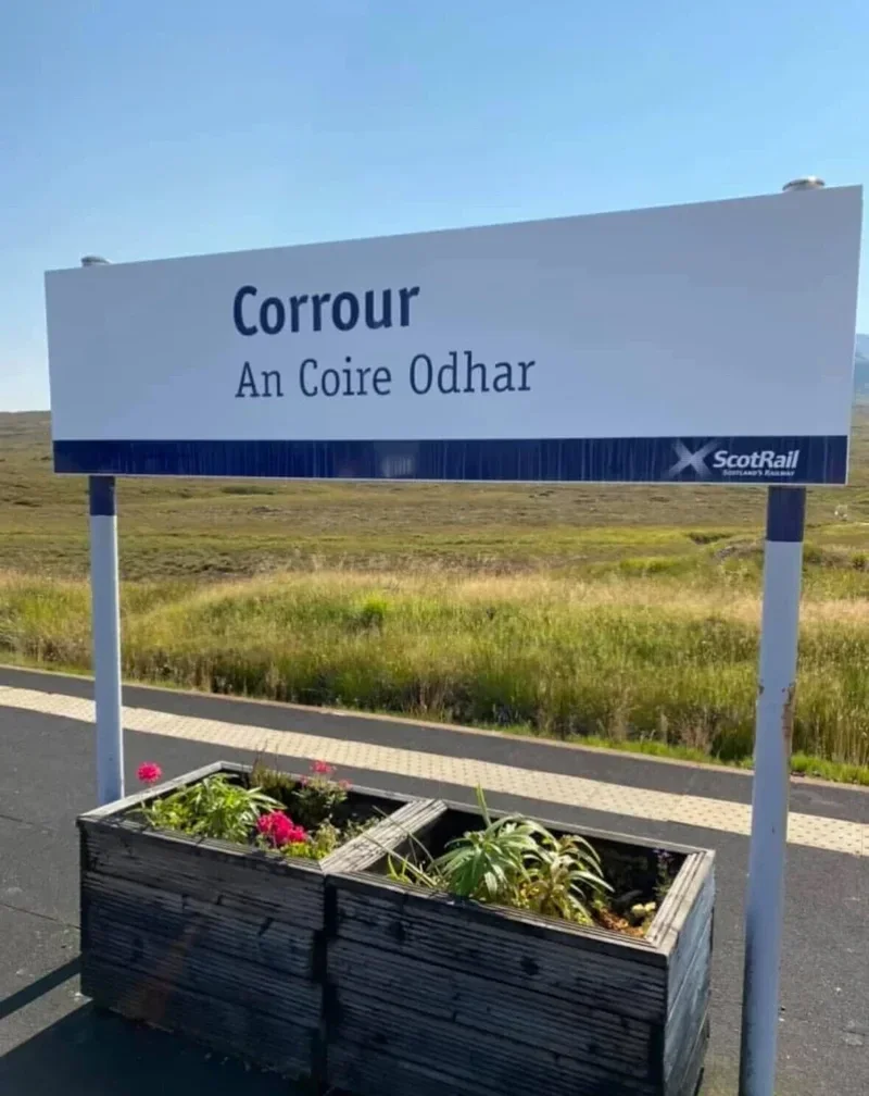
From Corrour Station, follow the estate tracks southwest through open moorland toward the base of Beinn na Lap. Ascend the steep grassy slopes to the summit of Beinn na Lap (935 m) and continue along the connecting ridge to Carn Dearg (941 m). From there, follow the ridge and minor slopes to reach Sgor Gaibhre (870 m). The route offers wide Highland views across Loch Treig, Rannoch Moor, and surrounding peaks. Return by retracing the ridge and descending the same moorland tracks back to Corrour Station.
18.25 miles 6-10 hours.
Beinn na Lap
Scotland
(Munro) Beinn na Lap 936 meters
Lat, Long 56.788701, -4.660256
OS Grid Ref NN376695
6 miles 2-5 hours for Beinn Na Lap
bog***
hike *
Sgòr Gaibhre and Càrn Dearg from Corrour
(Munro) Sgor Gaibhre 955 meters
Lat, Long 56.772177, -4.547782
OS Grid Ref NN444674
(Munro) Carn Dearg 941 meters
Lat, Long 56.7596, -4.591109
OS Grid Ref NN417661
14 miles 5-8 hours for both of these
bog***
hike***
no deer stalking
Submit Walkers Report
Mountain, Scottish, hill, munrobagging, munro weather, munro parking, distance, time.