Càrn Gorm, Meall Garbh, Càrn Mairg & Creag Mhòr

South highlands, Càrn Gorm, Meall Garbh, Càrn Mairg & Creag Mhòr
Scotland
🚲 Bike and Hike ❌
🏕️ Camping possible but be respectful of park
💧 Water sources throughout small streams and burns
🏊♀️ Cold water possible on approach to hike
Route Description:
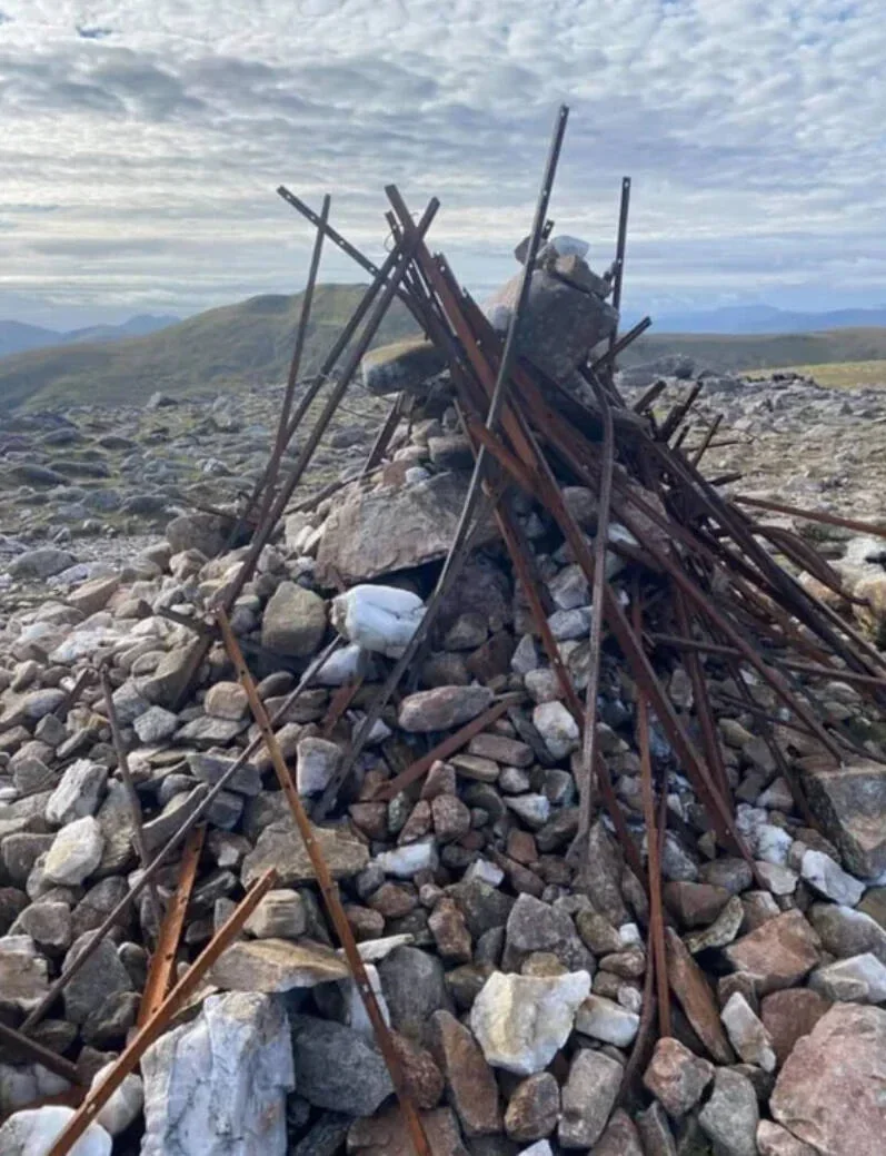
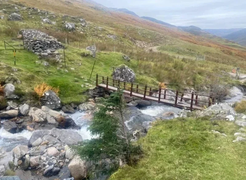
From the Loch Rannoch car park, follow estate tracks and moorland paths toward Càrn Gorm (1,029 m), ascending steep grassy and rocky slopes. Continue along the connecting ridge to Meall Garbh (968 m), then onward to Càrn Mairg (1,029 m) and Creag Mhòr (1,000 m), passing minor tops and rocky sections. The route offers sweeping Highland views across Loch Rannoch, Glen Lyon, and surrounding peaks. Return by retracing the ridge and descending via the same tracks back to the car park.
(Munro) Carn Gorm 1029 meters
Lat, Long 56.621966, -4.22628
OS Grid RefNN635500
(Munro) Meall Garbh 969 meters
Lat, Long 56.637576, -4.20763
OS Grid Re fNN647517
(Munro) Carn Mairg 1042 meters
Lat, Long 56.634142, -4.147096
OS Grid Ref NN684512
(Munro) Creag Mhòr (Meall na Aighean) 981 meters
Lat, Long 56.620058, -4.129996
OS Grid Ref NN694496
12 miles 7-8 hours
bog***
hike***
deer stalking under legislation of responsible walking.
Submit Walkers Report
Mountain, Scottish, hill, munrobagging, munro weather, munro parking, distance, time.