South highlands, Beinn Achaladair and Beinn a'Chreachain

South highlands, Beinn Achaladair and Beinn a'Chreachain
Scotland
🚲 Bike and Hike ❌
🏕️ Wild camp and summit camp
💧Water source at start and finish
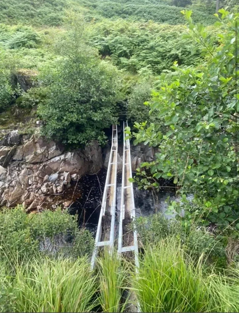
🏊♀️ Cold water dipping in river
Route Description:
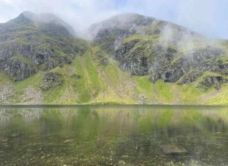
From the Loch Lyon car park, follow estate tracks and moorland paths toward Beinn Achaladair (1,068 m). Ascend steep grassy and rocky slopes to the summit, enjoying panoramic views over Glen Lyon and surrounding peaks. Continue along the ridge or open moorland toward Beinn a’ Chreachain (1,096 m), passing minor tops and occasional rocky sections. Return by retracing the ridge and descending the same tracks back to the car park.
(Munro) Beinn a'Chreachain 1081 meters
Lat, Long 56.559754, -4.649042
OS Grid Ref NN373440
(Munro) Beinn Achaladair 1038 meters
Lat, Long 56.551561, -4.695661
OS Grid Ref NN344432
13 miles 7-9 hours
bog***
hike***
Deer stalking enquires 01838 400255
submit walkers report
Mountain, Scottish, hill, munrobagging, munro weather, munro parking, distance, time.